Hi All,
 So…. I know I am way behind on the AZT Trail Posts. My apologies to all you AZT Trail Blog reading groupies….. aka…. my mom. 🙂 Hi Mom…. It’s not because we are slacking on the hiking, it’s just I am having a hard time getting the time to document the hikes. Typing up Hike #44, #45 and #46 this week. Promise….
This hike, hike #44, was going to be the first of two hikes commencing from the Marshall Gulch Trailhead just outside of Summerhaven, the small, mainly vacation town located on top of the group of peaks we affectionally call Mount Lemon. Technically in the Santa Catalina Mountains, this hike was completed on May 22nd 2018, a Tuesday which graced us with nice moderate hiking temperatures throughout the day. Arriving at the trailhead, which is an easy find since it is the termination point of the Mount Lemon Highway, we noticed what I dramatic change the surrounding were from just a couple miles down the highway at the Gordon Hirabayashi trailhead. The trailhead is nestled in a pine tree covered canyon and has well maintained paved parking spots with clean men and women restrooms. Wooden park benches line the trailhead and it seems to be a pretty poplar little lush hidden cove in the forest. There is a $5 parking fee, so please don’t forget to bring cash and complete a day permit card which is found right next to the restroom area.
So… on with the hike. This day we headed north bound (Mile 183 NOBO) coming off the Mount  Lemon area circling back towards the town Oracle and the Oracle Ridge from Hike #32. In the hike, and to my fear, we were to take on the dreaded Rice Peak, first hiking up the peak from north toward the base where we left off last year and then right back up the south side. A monster day and a fishbowl elevation hike for sure.
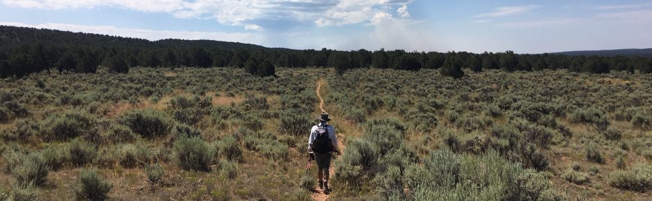
Reflecting upon this hike even though it was a pretty tough day, this section was really a hike I would gladly do again. The views were amazing with some of the best ridgeline trail hiking I have done so far on the AZT. They call this – one of the “Sky Island” Mountains and after you hiked it, you really know why… The trail down to Rice peak had a couple good ups but was mainly a hilly downhill stretch. It was very neat also to be able to see the entire trail snaking down a series of mountains and ridges, both north and southbound. So….once we reached the south base of Rice Peak, our turn-around, I prepared myself for the long sun exposed 15% grade – 1000 foot – 1.1 mile ascent. Up up up… dam Jeep roads…. never one switchback on Jeep roads, just straight up. One step at a time, was my successful plan that has worked in the past and guess what…. it worked again. Take small breaks as needed and to my surprise eventually I come to top… On this hike though and to get back to the car, there would be 4 more mountain tops to climb up and over. You know you never ever notice them on the way down. No big deal… we can do it…. The more we ascended though, the cooler the temperature became and a nice little breeze came crossing us from the west. At the turn around, below Rice Peak temps were in the high 80’s to Summerhaven just a couple miles away in the low 70’s. Moving pretty good pace, even with the uphill, before we knew it we were on the final 1 mile downhill road walk stretch thru Summerhaven and back to the trailhead.
All in all…. a good tough hike, amazing scenic sky like views on a nice cool day.


You must be logged in to post a comment.