 Today’s hike started out south of Oracle, Arizona, from the American Flag Trailhead and boy……it was a tough one. This section is pushing us farther south on the ATZ and is, kind of, the backway into the Santa Catalina Mountains toward Mount Lemmon, the massive mountain range that over-looks the city of Tucson.
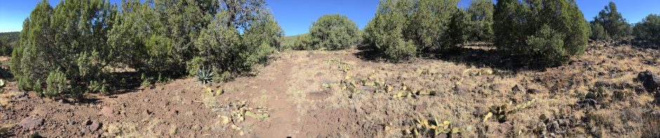
The American Flag Trailhead is an easy drive down the Interstate 10 from Phoenix then a small drive over to the town of Oracle and up the Mount Lemmon highway. The trailhead is just off the highway about 3 to 4 miles up to the west on a little dirt turn off called the American Flag ranch road. The trailhead is actually a trail junction with one trail sign heading north 17

Arizona Trail Day Hiking
miles to the Tigermine trailhead (which will be Hike #32) and the one we took today heading south into the Catalina Mountains. Our route was quite tough but I must say even with a constant uphill grade, some very aggressive climbs and rough trail it was simply awesome.
Our hiking pace was a bit slow on the out section, only clocking about 2 mph but man…. the views on this section were quite nice. Some of the best views I have experienced so far on the AZT (excluding the Grand Canyon of course). If you notice on the evaluation chart, provided below by the “Guthooks” trail app, the 3400 ft increase pretty much occurred all in the first 7.7 miles and is related to the climbing a series of mountain passes upon what is called the Oracle Ridge. At first the hike had a number of helpful switchbacks making the ups feel actually quite enjoyable. This quickly ended after passing mile 4 though and to my surprise we ran smack into a mountain named Apache Peak. Really the trails is taking us up there? I said.
 Up up up up….. the trail taking us up near to the summit and then wrapping around the backside of the mountain with incredible views of the Catalina’s and sharp drop offs. Continuing on the Oracle Ridge a second mountain proved to be another challenge due to it’s rough trail and aggressive uphill climb. From mile 4 to the “turn” it was a constant 10% plus incline grade and at times, it pushed my legs to the limit. Our turnaround at mile 7.7 was just short of the next major obstacle on this section of hiking, Rice Peak….As we gazed in awe of this next creation of god…. I looked at Tom and said, ” Lets save that for next time”.
Eating a quick snack and heading back down the mountains we made better time.  Downhill hiking does have it’s own special pain especially on some of the steepest sections. This is where hiking poles are used for safety, balancing yourself and placing anchor like positioning as we descended some of the cliff-side drop offs. Back to the Jeep we went, the tip of my toes now burning from the constant downhill hiking but still happy the ups are behind us. My only regret of the day was not bringing gaiters… tons of thorns and twigs fell into my shoes and caused a good amount of annoyance.
All in all, another great, but challenging, day of hiking on the AZT and I would have to say…. it was one of my favorite ones so far.


You must be logged in to post a comment.