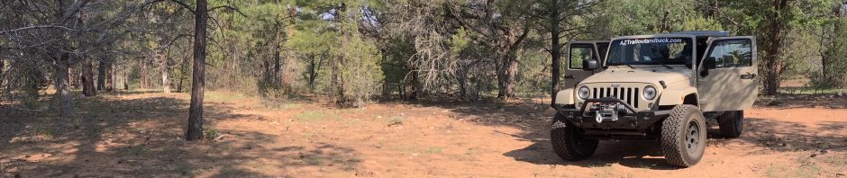
Location : Peeley Trailhead (NOBO Mile Marker 403.3 )
Date: 10-29-2019
Weather: Partial clouds skies, starting temperature 70 degrees, warm throughout the day
Total Mileage Completed : 17 miles on AZT (1 mile approach trail)
Hike Description:
So….. back to Peeley Trailhead. As much as I tried to find another trail intercept for this hike, everything pointed back to just making the drive down that 12 mile scary road again…. for the last time.
This hike was a little surprising to me. Intercepting the AZT at the same spot as we did on Hike #80, this time Tom and I turned south back towards a turnaround where Eric and I had ended Hike #6, way back on 09-20-2016. By this time, I was kind of expecting more of the same from the Matazals. Rough, tough and thorny. Instead though, we caught some areas of pine and cottonwood trees followed by bushy but smooth wide trail and than ending with desert “Phoenix like” looking mountain trails. A noticeable and nice change for a Matazal hike. As we ascended to the south the temperature warmed and we knew after the turn, a climb back up would be in our future. It was interesting to connect with the exact sport Eric and I left off over three years ago. It was a large tree standing alone on the side of the trail. I recall we were so exhausted when we got there on Hike #6, that we even fell asleep for a good 30 minutes, heads safely protected by bug nets. This reflection made me thing of the evolution of this journey.


You must be logged in to post a comment.