 The last Flagstaff AZT hike….. Up to this point we have been attacking the AZT from the west and east of Flagstaff, leaving a little 14 mile out and back (7 miles each way) section that we had to complete in order to connect the hikes. So… back up the Flagstaff we went. This little hike, I thought on paper, was going to be an ugly road hike on the edge of Flagstaff. To my surprise, it actually was not bad. A couple small sections of town garbage, old tires and shopping charts but for the most part kind of forested, nice trails and quite cool. The hike starts back at the Conoco Gas Station from our Hike #19. This time we were heading east after coming down the .10 mile approach trail
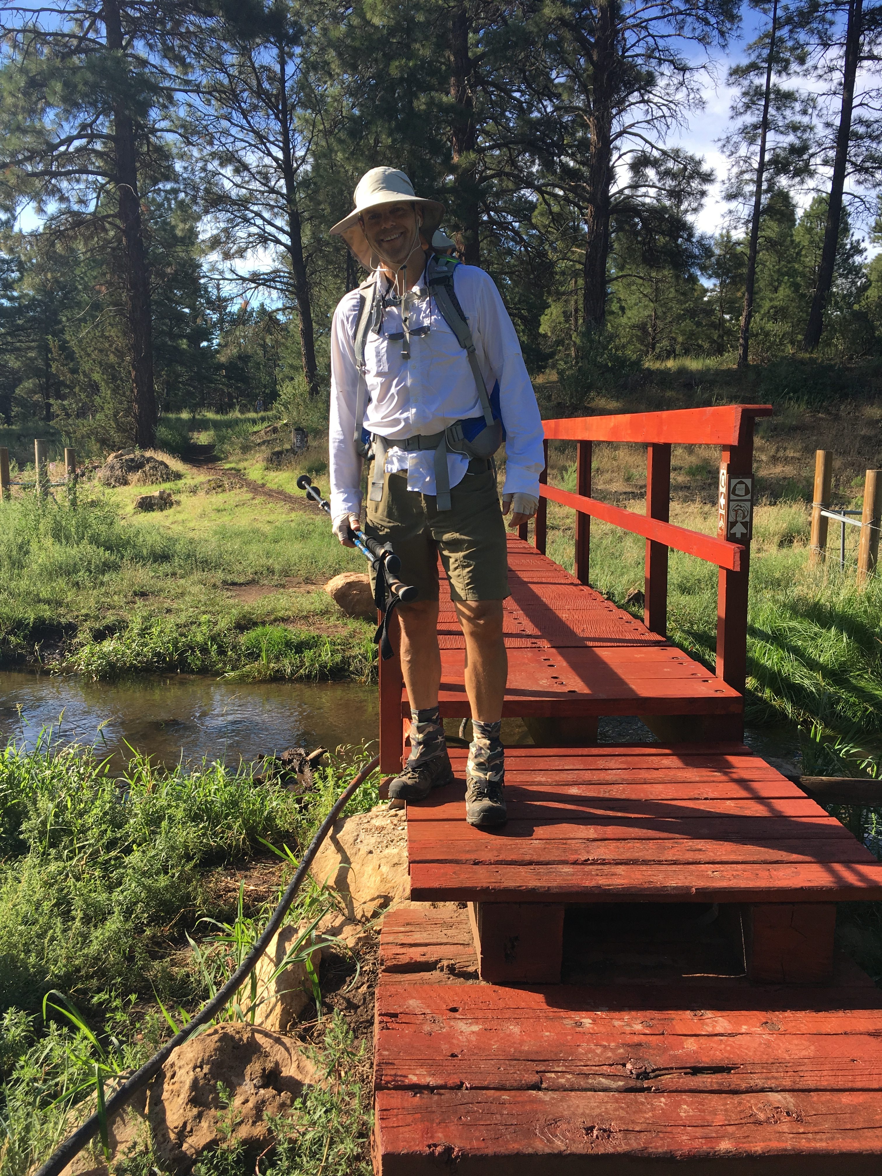
 . Quickly after a little downhill descend, you’ll find yourself on what is called the Flagstaff Loop Trail, a 48 mile trail that rings the town of Flagstaff. Hiking past the sewer treatment plant and the downstream grey water runoff with it’s little red footbridge you’ll then go up past the Wildcat Hill Mine Pit…. fun fun…. I mean seriously…. the landfill is also on the other side of the treatment plant. Actually from the trail all of these are quite hidden by forests, hills and pretty flowers. Once past, the trail opens up into the start of Picture Canyon on the north side of old Route 66.
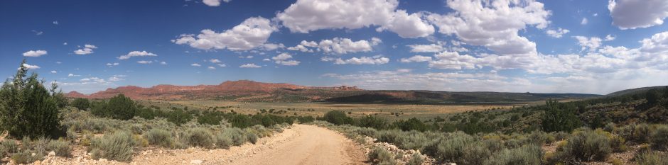
  From what I have read this area used to be a real junk yard of garbage until Flagstaff volunteers cleaned the area up and successfully got it designated as a national historic park then placing into trust land. Developers would have a field day with a golf course in this valley for sure….. Wonderful views of the San Francisco Mountains as the
  trail moves you across an open field and then at about mile 4 closes back into tree line right through a kind of junky campsite. Some guy actually parking his trailer and dirt bike smack on the AZT trail. Looked like he had been there a while at that….. Past the campsite, you are back into the high shrub forest along the US Interstate 40 east of Flagstaff. You will find yourself, first amazed and then annoyed by the numerous trains that also shoulder the trail. Exactly at the interstate underpass we approached the spot were we left off on Hike #20 – Interstate 40 Trailhead. Not wanting to break there for obvious reasons we hiked back a couple more miles and took a quick 20 minute snack and rest break under tree cover. Back on trail with the sun now directly overhead, the day turned hot for Flagstaff with a shade temperature at near 80 degrees. Not bad, but hot enough to motivate an accelerated pace and desire for the comfort of the Tahoe’s air conditioning. All in all, a nice day hike and there were definitely some nice views……. Even though we seldom felt as though we really left town. Glad it’s done and we are completed with the trails from Gooseberry TH in the south to Cedar Ranch TH to the north, a 200 mile out and back section. To be honest, I am actually starting to look forward to the weather cooling off some so we can get back to the desert views of central and southern Arizona on the AZT.


Tags
-
Recent Posts
Pages
Categories
- Gear Reviews (4)
- Hikes (91)
- Hikes – Easy (38)
- Hikes – Extreme (6)
- Hikes – Hard (15)
- Hikes – Moderate (31)
- Location (90)
- Flagstaff (14)
- Four Peaks (5)
- Grand Canyon (8)
- Huachuca Mtns (5)
- Mazatzal Mtns (8)
- North Kaibab (9)
- Oracle (6)
- Payson (9)
- Santa Rita Mtns (5)
- Superstition Mtns (5)
- Tucson (9)
- White Canyon Mtns (7)
- Tips & Tricks (16)
Meta

Trail Member
Subscribe to Blog via Email
Join 130 other subscribers
You must be logged in to post a comment.