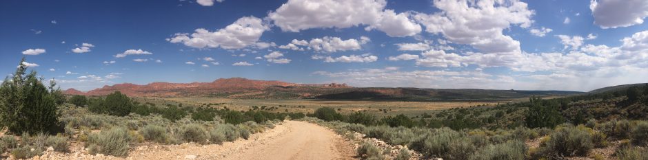

Mormon Lake on the Arizona Trail
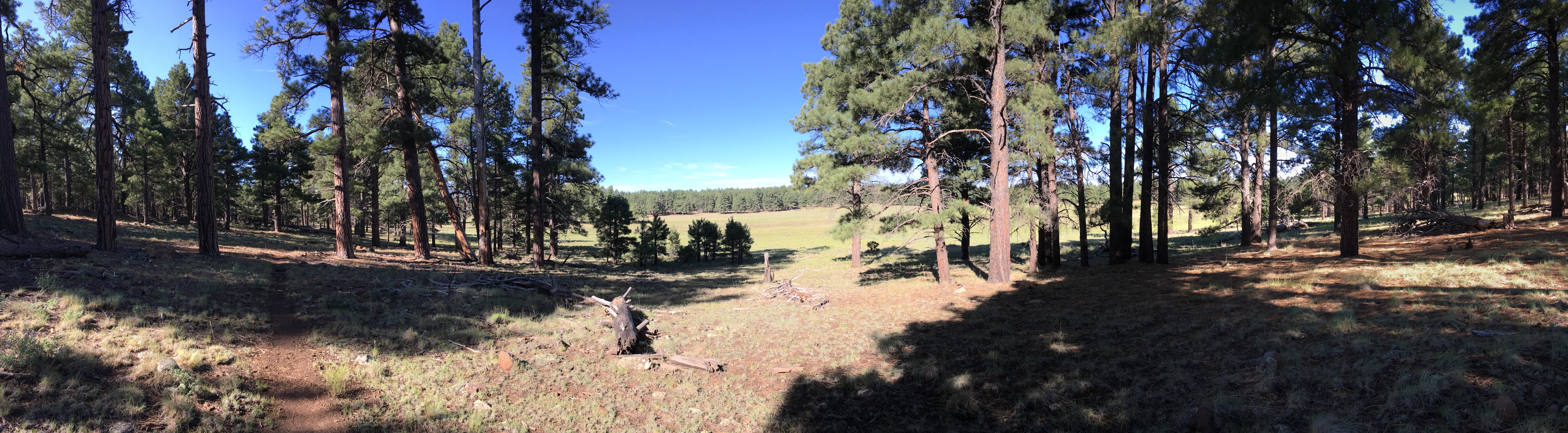
Welcome back to Mormon Lake and the Pine Trees of Flagstaff…. these were my thoughts as my loyal hiking friend, Tom and I set out for another 21 mile section hike of the Arizona Trail. This time we were filling in the AZT section between Hike #17 Gooseberry Trailhead North and last weeks Hike #23, Marshall Lake Trailhead South. In late July we knew… obviously… from last week… that thunderstorms would be part of the hike. We were just hoping the soil and mud would be more favorable to us, which to our joyful surprise…. it was. As we discovered, at the turn, in the previous week’s hike, there is an unmarked trailhead right off Lake Mary Road at the Forest Road 651 turn. Drive over the little wooden bridge and up the road about .10 of a mile on the left is what appears to be a trailhead. AZT sign and all. The AZT is not exactly  connected to the parking area but it’s only about 100 yards east. The AZT trail itself, heading south back toward lake Mormon, is relatively flat for about 5 miles and then it turns a little hilly with a couple small ups and downs all the way to the turn-around. From mile 2 to 4, we ran straight into the largest free range cow heard we have seen on the trail. Ton’s of cows, large and small all over the place and a couple nasty grumpy ones too. Most of them seem more curious of us then anything and we had to wave our arms to get them to drop their gaze and move off trail. At about mile 9, you’ll walk right into a Double Springs Campground, all decked out with bathrooms and water spikkets….. they even have a little man-made stream running down the campsite fed from a pump house. We continued to the turn and as tradition now, enjoyed a nice lunch break, kicking off our boots and even had time for a quick 15 minute nap. Forgetting for a brief moment of the time of year it was, our thoughts now rushed back to last week’s hike and the fear of a repeat monsoon storm. We rushed to pack up and jumped back on trail for the 10.5
  mile hike to the car. The sky at this time was still clear with only a couple clouds in sight. On the way back the elevation was a consistent downhill after mile 15 but then……as luck would have it then…..came the rain….. and a lot of it. Tom and I just kept hiking…..Rain jackets zipped up, phones put away and hats pulled down low. Most of this trail, out and back, follows an old logging railroad track. About at mile 4 and 16 you’ll find an information sign which gives you the history on the now torn up rail tracks. These tracks become a much more inviting trail then the river once known as the AZT. All in all this was a nice 21 mile hike. The rain, even though it was much harder and gave us a couple very close scares from lighting hits, was so much more manageable due to a better packed ground and more dense tree cover. This hike does give you some hills to climb which was a nice change for us although still having many flat miles. Other than the endless cow heard, the cool old railroad tracks and the bathrooms at the camp grounds, I would have to say, it was not too exciting of a hike. More miles down though and closer to the goal… Next up Humphrey’s Peak and the Aspen Pines of the San Francisco Mountains.


You must be logged in to post a comment.